London Borough of
Bexley
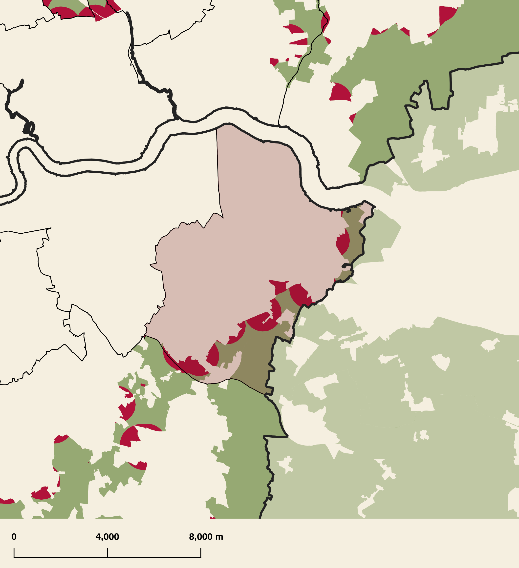
London Borough of Bexley has a total area of 6,055.39 hectares. Of this, 1,112.09 hectares are designated greenbelt (that's 0% of the borough's total area).
The map below shows the distribution of designation green belt land within London Borough of Bexley, together with those areas which are both green belt and within the ITP London Plan small sites policy H2 zone (either 800m from a station, high street, or PTAL 3+).
Designated Green Belt
Designated Green Belt with London Plan Policy H2 Zone
Green belt and Small Sites
According to the adopted version of the London Plan, 51.08% of London Borough of Bexley's area falls within the Policy H2 zone; that is either 800m from a high street or station, or in an area with PTAL 3 or more. Some of this area also coincides with designated green belt: there are 370.39 hectares of land which are both green belt and within the Policy H2 definition.